Hike: Athabaska Falls, Banff BC
Quick Summary
Difficulty: Easy
Distance: 4 km
Elevation gain:Nill
Time Taken: 2hrs (at a leisurely stroll)
Cool points: The Falls
What it's Not: A Hike
Date of Hike:
Recommendations:
Notes:
|
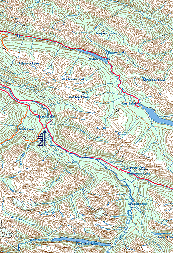
"Map is © Her Majesty the Queen in Right of Canada,
Department of Natural Resources. All rights reserved."
map from the website
http://toporama.cits.rncan.gc.ca/toporama_en.html
|
How to get to the trail head
The Trail head is at the southern junction of Hwy 93 and Hwy 93A.
Some where around 25 to 35 Km south of Jasper.
Ramble on about the hike
Well this is not even close to a real hike, but it is well worth
the time to stop if you are traveling on Hwy 93 between Jasper and
and Banff. The falls are just off the Hwy, you barely have to get
out of the car.
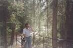
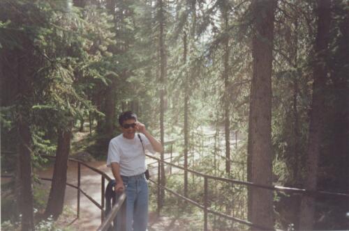
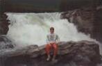
One of my favorite pictures is the first picture to the left side.
When I took it,
I was on the West side of the Falls, after admiring the falls from the
up river side. I turned to head back, and saw my buddy Li, so I snapped
a quick picture. You can see some of the mist that was in the area from
the falls. I guess I like the way the sun is coming through along the
path in the background.
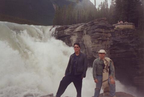
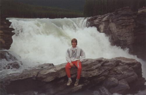
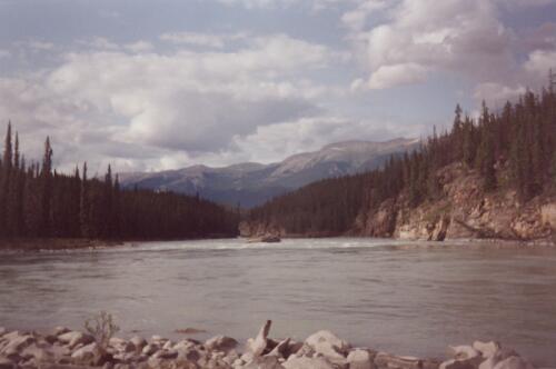
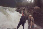
The pictures below are of the falls themselves. The Athabaska falls
are pretty impressive, not so much by the height
of the falls, but by the volume of water that flows over them.
We did not come along the path to the falls, we approached along the
bank from up river. It was not until after the pictures were taken
and we jumped over the hand rail to get back on the path that we
saw the signs telling everyone to stay on the trail.
The summer we visited the falls was the same year that two canoists
lost control of there canoe up river. I believe one made it to shore
before the falls. The second person was not so lucky (or exstreamly
lucky), he was the first person to go over the falls and survive.
At least that is the way I remember the news story from close to
10 years ago. I guess the point of the story is that if any of us
had happened to slip into the water it would have been game over,
so if you visit, please stay behind the rail
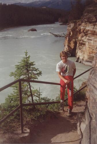
There is a bit of a nature trail along the river, after the falls if
memory servers. Unfortunately I do not remember much other than some
dry water sink holes.
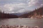
The trail follows along the canyon that the Athabaska river follows, and
then opens up out into the valley in the pictures below.

Lessons Learned on this trip.
Sometimes those places that all the tourists stop are actually
pretty cool.
[an error occurred while processing this directive]