
A fairly easy hike just off moraine lake. An upper valley behind the lake is full of larch (Tamarak) trees. I wanted to get out here in the fall to see the colours of the trees as the season changed.
|
Difficulty: Easy hike Distance: aprox 5km? Elevation gain:____ Time Taken: 3hrs or so Cool points: lake at the trail head. Date of Hike: Oct 2002 Recommendations:___ Notes: |
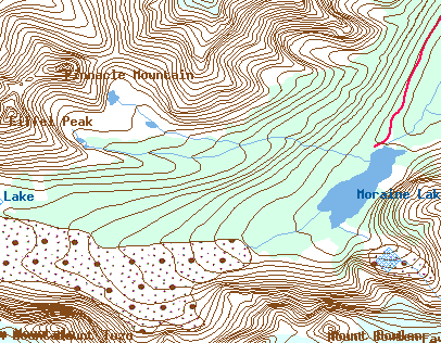
"Map is © Her Majesty the Queen in Right of Canada,
Department of Natural Resources. All rights reserved." |
This hike starts off at the Moraine Lake parking lot and runs runs along the north side of the lake, taking a right turn just behind the Moraine like lodge. The lake it self is a popular destination for the tourists. It was once featured on the back of the Canadian $20 bill. There is a small trial that runs to the East side of the lake, up a rock pile. Apperently that is the location the picture was taken from the Bill.
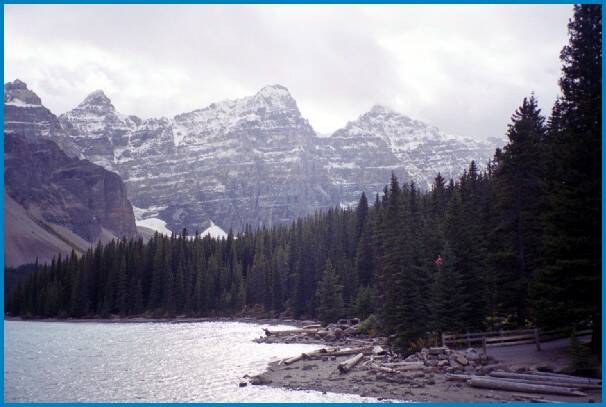
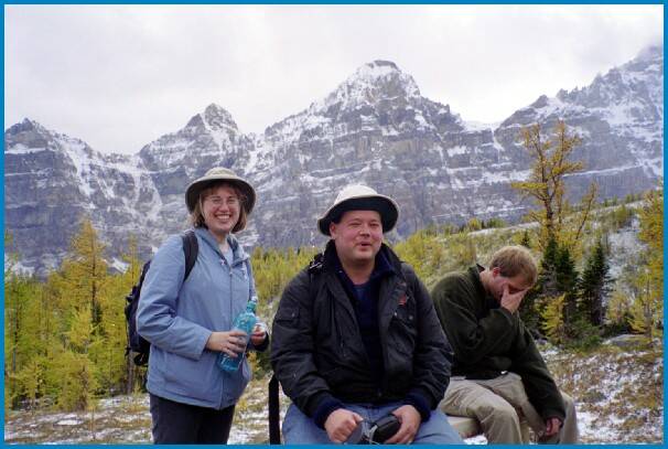
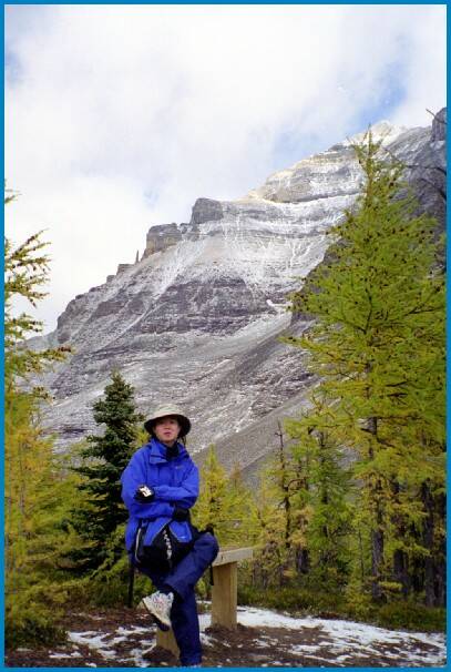
The pictures below were actually taken at the end of the hike. Thus the sun is shining in from the west. They are just taken from the shore.
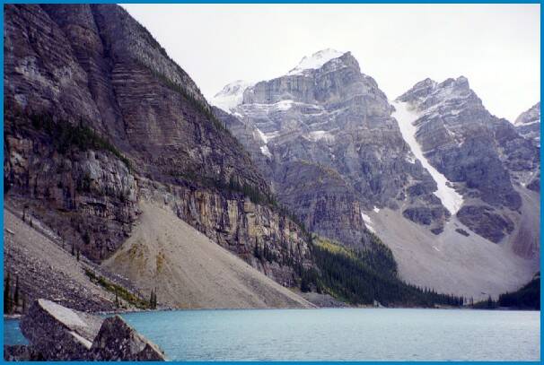
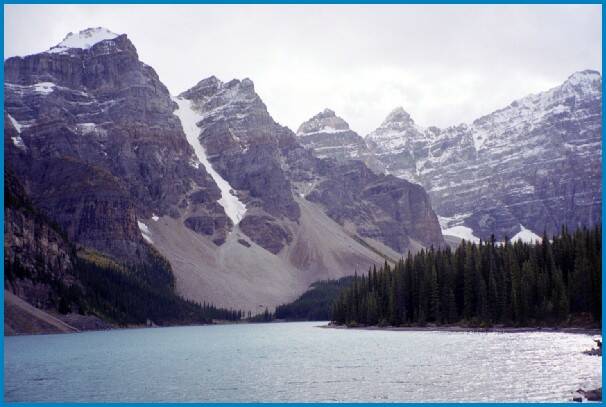
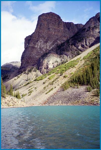
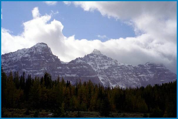
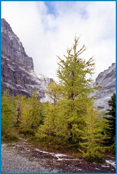
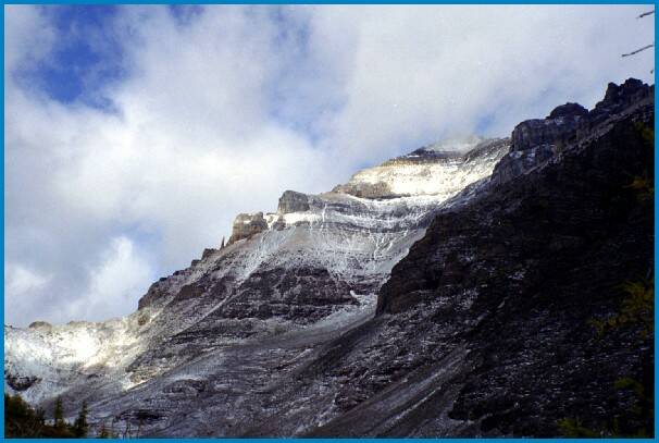
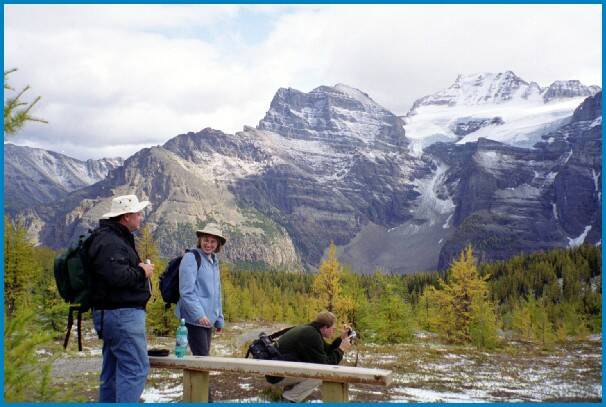
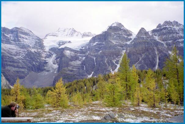
The picture to the right, is looking back to the east from the shore of the lake. THe peak seen is called 'the tower of bable'. this is about the same height as larch Valley. So you cansee there is some elevation gain on this hike. Most of it comes at the beginning of the hike.
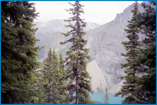
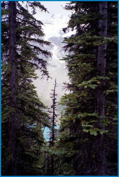
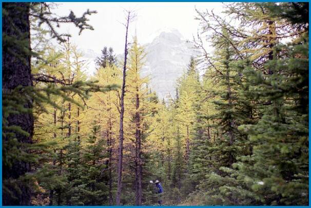
This hike traverses up behind the lodge, on the north side of Moraine Lake. You are in the trees, occassionally getting glimpses of the mountains, and the Lake.
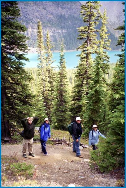
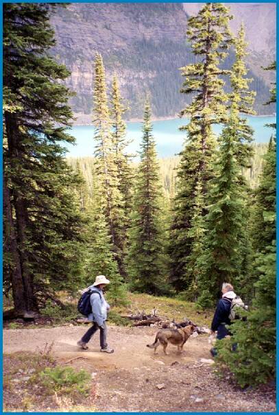
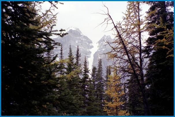
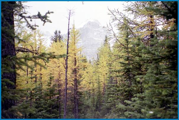
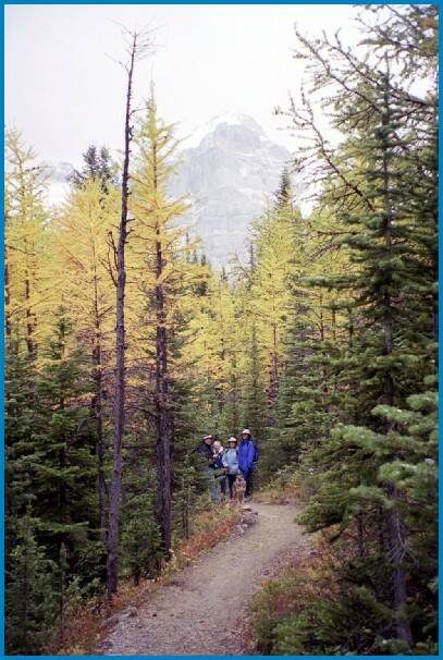
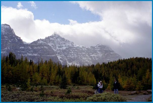
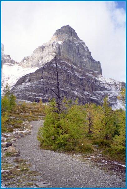
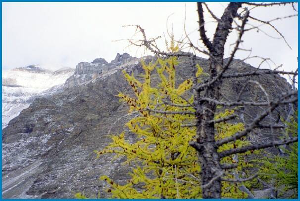
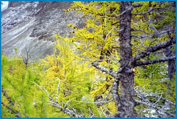
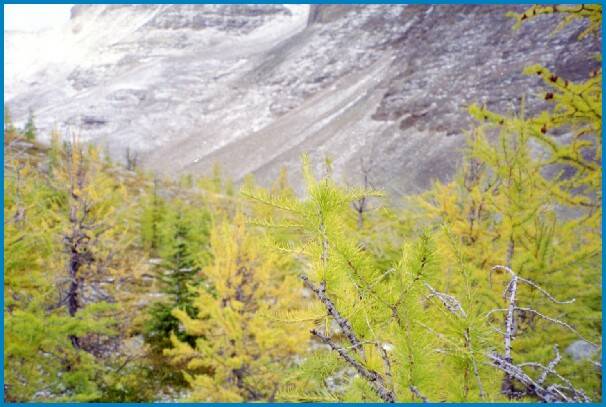
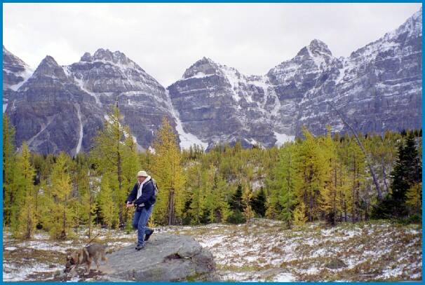
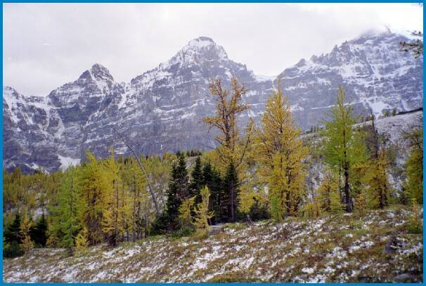
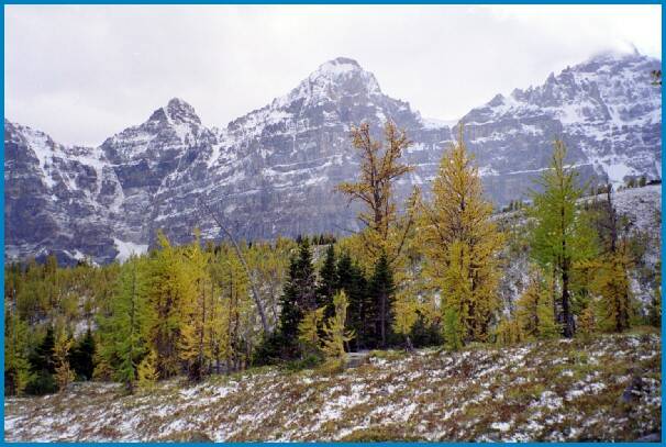
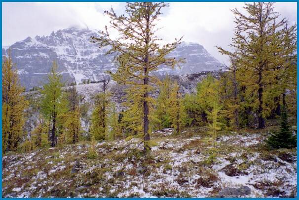
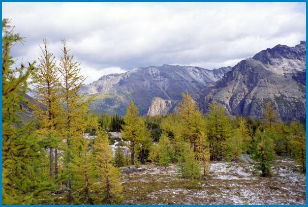
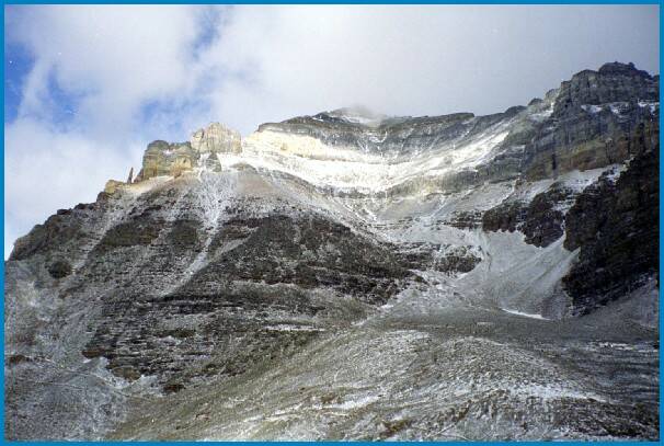
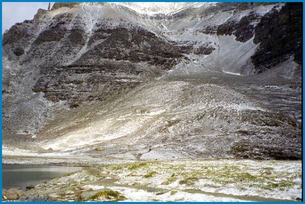
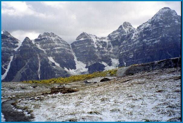
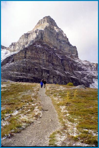
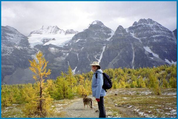
Eventually you come out of the trees in to the lower portion of the Larch Valley. This is different from the other Northern edge of the as there is lots of shrubs and the like covering the ground. Very nice area. there is a good view of the mountains around the area, to the south, the valley of the 10 peaks, to the North Mount temple, and ____.
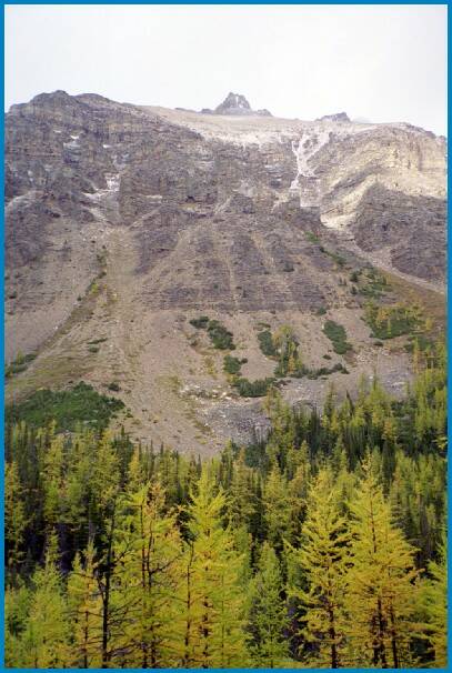
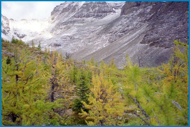
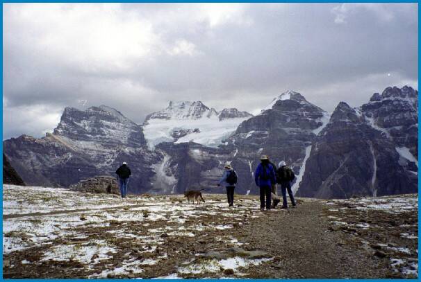
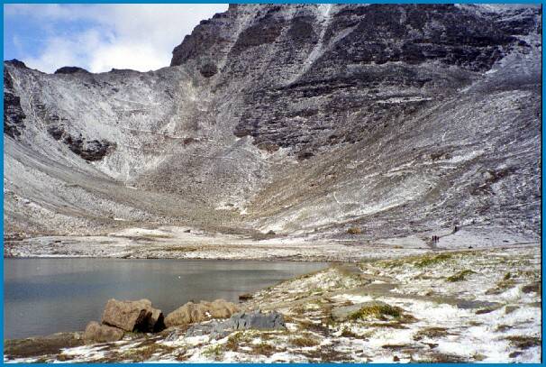
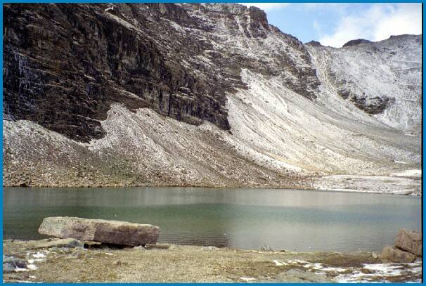
As you move to the north side of the valley the ground becomes more rocky. There are two upper tarns up here, It is Oct, and there is two small lakes (tarns) up here. Some more pictures below.
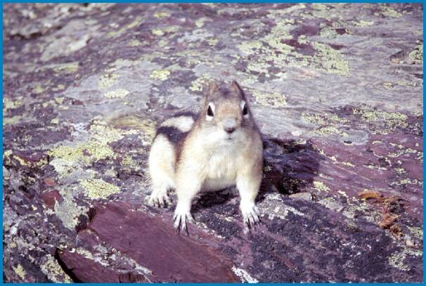
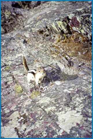
As I was taking pictures of the lake after the hike, the
little guy below came up, probably looking for handouts.
 [an error occurred while processing this directive]

