The Trip Report:
Kayaking Vermilion with Dana
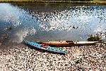
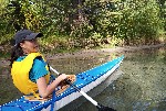
Dana in the multi chine seapup. Me in the guillemot
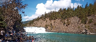
If you are in Banff for hiking, skiing, paddling, etc. then it is worth a quick detour to check out thee falls. They are on the SE side of town and the parking lot is more or less at he base of the falls. there is a pretty nice short trail along the river between town and the base of the falls. That would be another trip, but if you are doing the same paddle around Vermilion lake then this walk (or) tunnel Mtn would make a good addition to round out the day. Checking out the falls is worth while as it really points out that you do not want to go too far down stream on this paddle.
Fail to park in Banff town site
One of the frustrations of Banff is that it is very popular, and hence busy. the free pass to the parks last year did not help that at all. We ended up driving around the parking lot loop along the river in town twice before giving up and parking on the road at the lakes themselves. You want to park at the first lake.
Paddle around the 1st lake
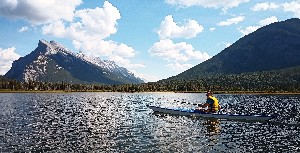
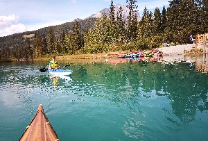
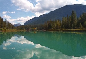
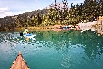
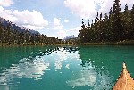
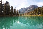
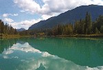
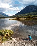
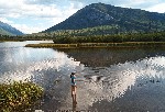
As we unload the kayaks there is a wedding photo shoot ongoing, which says something about the scenery here. to the South East is tunnel mountain and Rundel behind it. To the South-West Sundance, West is the Massive Range and to the Nort is Mt. Norkquay and Cscade Mountain. The lake it self is a shallow clear lake with the plants easily seen below. Today it is quite calm making for easy paddling and nice reflections off the water.
We paddle around the lake counter clockwise. try to get a decent pic of the train as it goes by. A couple in a canoe disappear to the East side e of the lake. That is where the entrance to the creek that drains the lake hides. It is hard to see from the lake and easily missed if you don't know where it is.
Creek. Two beaver dams
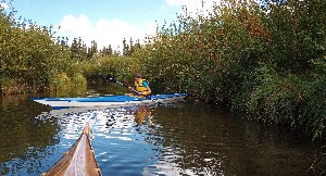
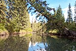
The creek it self is narrow and slow flowing. you are surrounded by low banks and willow trees. there is what looks kike a marker or power line, and at one point what looks to be the remains of a wooden bridge pillar with an old road or trail that may have crossed the creek. I wonder if there used to be some building or some such out here in the fens.
You currently need to cross two small beaver dams. The first one I'm able to get up a head of steam and force my way over, The other is big enough that I need to get out and lug the kayak over. The skin and frame gets gentler treatment and is carried over both.
Echo Creek .. cold small fish
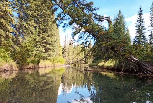
A short distance later you come to Echo creek. another small creek although now larger. It is crystal clear and cold, also with a bit more current, although not much being well after spring run off. There are benches for the walkers along the creek, and few trees leaning out over the river, complete with kids climbing in them. The water is clear enough that you can watch the small minnows
To the confluence. Clear into blue milk After 15 or so minutes going down Echo creek and having passed under the small railway bridge, you come to the confluence with the bow river. Here the clear water of the creek and the milky sky blue of the bow river join. There is a very stark difference in the water colour.
Through town
It is at the joining of the creek to the river that you find the canoe rental shop. There are at least a dozen of their fleet are on the water and in sight of the boat launch, but all up stream. We have the luxury of being allowed to continue down stream, where as the rental place insists you stay upstream, and for good reason. I think about 3 years ago a father and son from the UK managed to misunderstand the instructions and went down stream, past the bridge and over Bow falls. A minor miracle that they survived. Part of that was having both paramedics already at the falls, and a rafting tour about to set off from below the falls with river rescue expertise. If I got the story right both were unconscious, and I imagine beat to hell. At least one of them ended up buck naked.
We did not go upstream on the Bow, but certainly an option for someone heading out this way, I have in the past canoed down stream from further up (from Castle Mtn), as I recall the flow is very slow for a few km going upstream, so it would be an easy go, baring any wind. Something to consider if you have more time. Personally I find the trip up to the lakes we are coming down from more interesting.
Anyways, we continue on down stream for a while, there are now lot of people on the banks. Sticks being thrown for dogs to fetch out of the river, people sitting down on the benches and shore, some admiring the view, chit chatting, reading.etc. We even got a couple of waves. mostly they out walking taking n the scenery, or so I assume.
There is a music festival on the go at the central park. we continue to the bend in the river after which you can see the bridge 100m or so down stream, along with a noticeable up tick in current flowing under it. We are close enough that it is time to turn up stream and head back to the car.
